14. - 21.7.2018
 For now the ninth time I went to Liechtenstein to combine holiday and hobby.
And again I chose the summer as travel time, as on my first trip 6 years ago.
This time, however, I wanted to use not only the accommodation as a position for the radio station, but also to activate as HB0/DK3RED/P as many summits as possible within the match of the SOTA program.
On the list of the Association HB0 there are 9 summits.
I couldn't reach all the summits, because the time and my condition are limited.
In the end it was 3 summits.

Helwangspitz SOTA HB0/LI-011 - quit and easy to reach
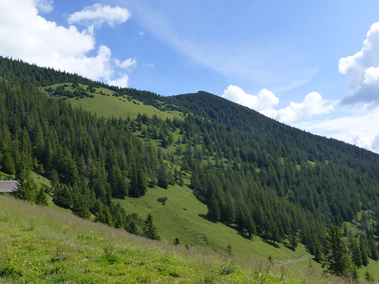
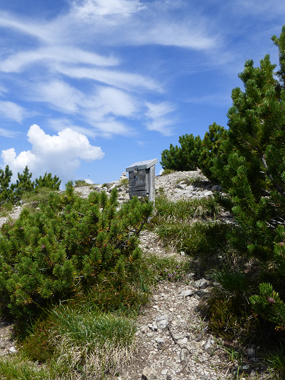 Those who want to get to the Helwangspitz without additional hikes, go to Gaflei.
The bus line 22 from LIEmobil goes to Gaflei.
There is also a large parking lot available, which is suitable for parking the car.
In several serpentines it goes on a wide driveway from the parking Gaflei (1483 m) to Alp Bargella (1663 m) and on to the Bargellasattel (1742 m).
From there it goes on a narrower trail to the Kamin (1937 m).
For the 2.9 km route from Gaflei to the Kamin 1 hour 15 minutes are indicated at the signpost - I needed 20 minutes more.
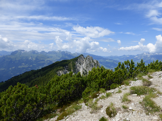 But please do not go down the Kamin.
It continues where the red-green sign "Winterruhezone" (winter rest zone) stands.
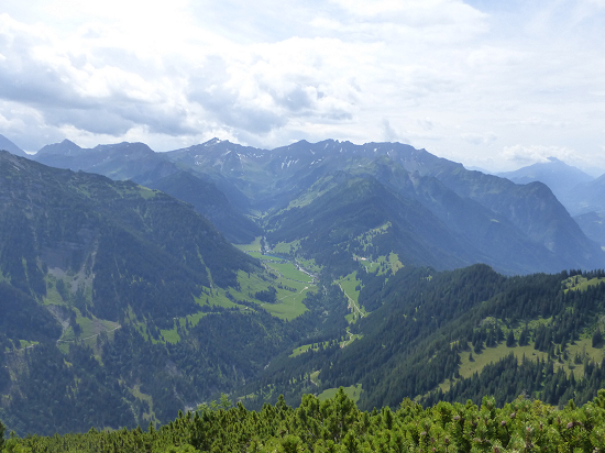 The remaining approximately 400 m lead through a dense population of mountain pine on a narrow unmarked way, which takes another 20 minutes.
At the summit of Helwangspitz, SOTA HB0/LI-011 at 2000 m altitude, there is no summit cross, but a summit book.
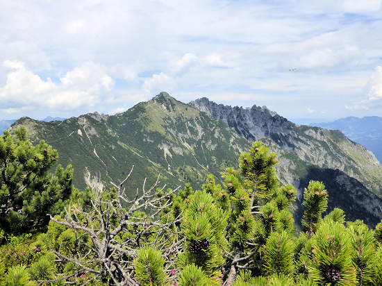 Note: The northern side of the summit drops steeply.
The other side is rather easy and is more or less dense with mountain pine.
Around the summit, however, there are several open areas that are suitable for building the radio station.
I found a grassy area and attached the antenna mast and wires to the surrounding mountain pine.
The summit is only started by a few hikers, as they seemingly turn mostly by the Kamin to the Alpspitz (1997 m).
Admittedly, there is a good view of the Rhine Valley from the Alpspitz - Helwangspitz can not offer that.
Eschnerberg SOTA HB0/LI-012 - two days to the summit ![]()
Between the rugged summit range with the Three Sisters in the east and the Rhine as the border river in the west, a mountain range protrudes from the flat area of Liechtenstein.
On it lies the small community Schellenberg.
From a summit of the same name, as stated in the SOTA database, there is nothing to find on the signposts.
Only the community districts Hinterer Schellenberg, Mittlerer Schellenberg and Vorderer Schellenberg are indicated.
I thought that I had memorized the position of the summit from the maps: at the northeast end of the mountain range, just before the border with Austria and just before the way down.
But although I reached the right area and then ran on different paths of the above relatively flat mountain range, I discovered no summit of the same name.
So I ended the action disappointed and without a QSO in the logbook.
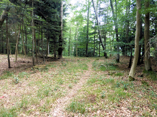 Once back in the accommodation, I took a closer look at the map material on SOTA Map and also studied the descriptions of the Historischen Höhenwegs (Historic Altitude Path), whose information boards I had seen.
And I realized that the mountain range and the highest peak is named Eschnerberg and not Schellenberg.
In retrospect, I found that the SOTA webpage indicates the valid summit in the right place, but with a false name.
On the maps of SchweizMobil, OpenTopoMap and OpenStreetMap the name is correctly noted, however the height 1 meter lower with 697 m.
The hiking map of the Principality of Liechtenstein in the scale 1:25000, however, indicates 698 m.
I have already asked the Association Manager to change the summit name in the SOTA database.
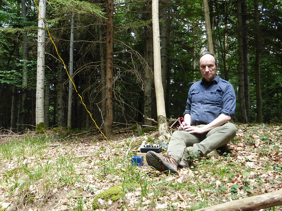 On the second day I started the next attempt - again with the radio station in my backpack.
The only 2 km long "ascent" began at the bus stop Sägaplatz of the lines 32, 33 and 35 from LIEmobil at 650 m, where there is also a fairly large parking lot.
From there follow the path to the Obere Burg Schellenberg (Upper Castle Schellenberg, 664 m).
A short jump up is worthwhile, even if only a few walls are left.
Admission is free.
At the foot of the ruin, you are already on the historic mountain trail (see above).
It leads to the steep rocky outcrop at the side to Feldkirch and further up.
On the way to the northeast one should also look at the glacial erratic, which is not far from the path on the Grantenstein (695 m).
A good orientation to find the summit is possible on the information boards.
At the panel "Föhren-Eichenmischwald", a wide track branches off to the left into the forest, while following the hiking trail along the edge of the rock, after a few meters, you reach the vantage point on the board "Kulturraum-Feldkirch".
There is a good view of the flat area and to Feldkirch.
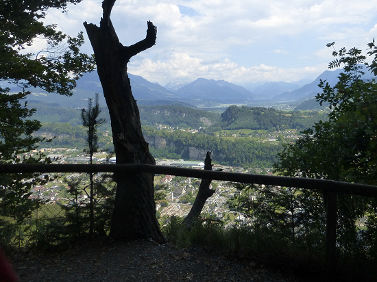 If you turn around at this point, you are facing a densely wooded area in the summer and thus hardly recognizable as a summit.
This is the highest point that is erroneously stated as Schellenberg: the Eschnerberg, SOTA HB0/LI-012, with 698 m altitude, which brings 1 point in the SOTA rating.
But you do not have to commit it from the viewpoint, because there is a trail that starts at the fork a few meters before.
The path leads over the summit and back down to Austria in the direction of a landmark.
The summit is very flat, wooded and not spectacular.
One searches in vain for a summit cross, as well as a summit stone - at least I could not discover any.
I used a place between not so dense trees to build the station.
Then the already announced heat thunderstorm reached me, so I covered the station and slipped in rain jacket and pants.
Only after 45 minutes was again thinking of radio operation, even if it initially crashed vigorously in the headphones.
If you do not want to sit on the forest floor, you can also use the wooden bench at the lookout point, as it is only about 3 m lower and therefore within the range of 25 m below the summit, which is valid for SOTA.
For the way back you can either use the same path or complete the route of the Historic Altitude Path marked as "Rundweg 1".

Schönberg SOTA HB0/LI-009 - magnificent view ![]()
The Schönberg can be reached via several ways.
I started my climb in Malbun.
There begins near the Friedenskirche (Church of Peace) at 1600 m a convenient hiking trail to Schönberg.
Continue on it past the Sass (1725 m) to the fork in the Sassfürkle (1786 m).
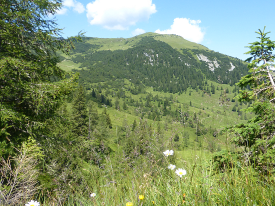
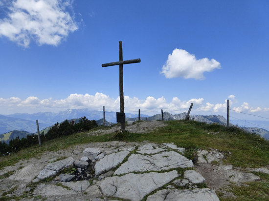 After crossing the Obersäss and the ridge from there, the summit of Schönberg is already visible.
If you want, you can also choose a path along the cliffs of the Drei Kapuziner (Three Capuchins).
I use a more direct route, which at first is rather a wild path and later leads diagonally across the pastures of Alp Guschg to the summit.
 The summit of the Schönberg, SOTA HB0/LI-009 with 2050 m altitude drops steeply to the north and northwest.
For the construction of the radio station I used a depression in the pasture.
Unfortunately, the radio connections required for SOTA activation were very slow here.
For the descent, I again use the path over the pastures to Sassförkle and on to Malbun.

Station equipment ![]()
In the backpack was as station equipment an Elecraft KX3, a multi-band antenna and a 6 m GFK portable mast.
The starting point was always be the Mountain Inn Sücka (in German: Berggasthaus Sücka, www.suecka.li), used in the previous years, at a height of 1402 m.
73/72 de Ingo, DK3RED - Don't forget: the fun is the power!